

Drone Services
Covered M provides professional drone services for agriculture, industrial, and commercial clients. Our capabilities include aerial crop spraying, seeding, fertilizer application, site mapping, progress monitoring, high-elevation equipment inspections (NDE), and 3D modeling. Using advanced UAV technology, we deliver safe, efficient, and cost-effective solutions while reducing the need for personnel to access hazardous or difficult-to-reach areas.
-
We leverage advanced drone technology to deliver innovative aerial solutions that improve efficiency, reduce costs, and provide valuable data for agricultural, commercial, industrial, and infrastructure projects. Our goal is to help clients make smarter decisions through accurate, actionable insights.
-
Safety is at the core of every operation. Drone technology allows us to inspect, document, and monitor assets from a distance, reducing the need for personnel to access hazardous areas, work at heights, or enter difficult-to-reach locations while maintaining high-quality results.
-
Using professional UAV platforms, aerial imaging, thermal technology, photogrammetry, and 3D modeling, we transform aerial data into practical tools for inspections, progress tracking, asset management, mapping, and project planning. We deliver clear, reliable information that supports confident decision-making.
-
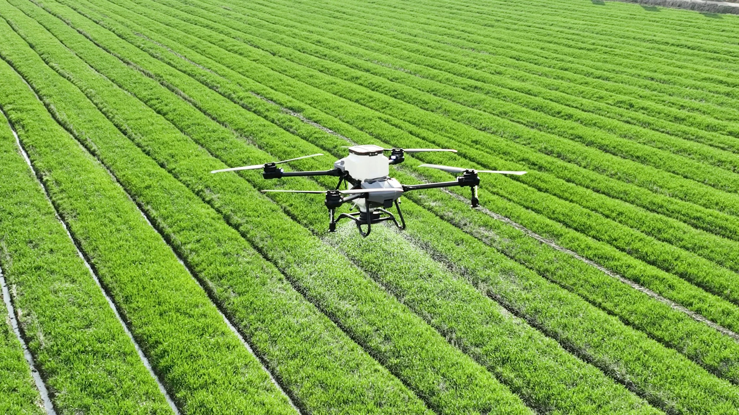
Agriculture
Comprehensive agricultural support services for farms, ranches, and agribusinesses throughout Texas. Our capabilities include drone spraying, aerial seeding, fertilizer application, land and site evaluations, infrastructure improvements, water management support, fencing and facility planning.
-
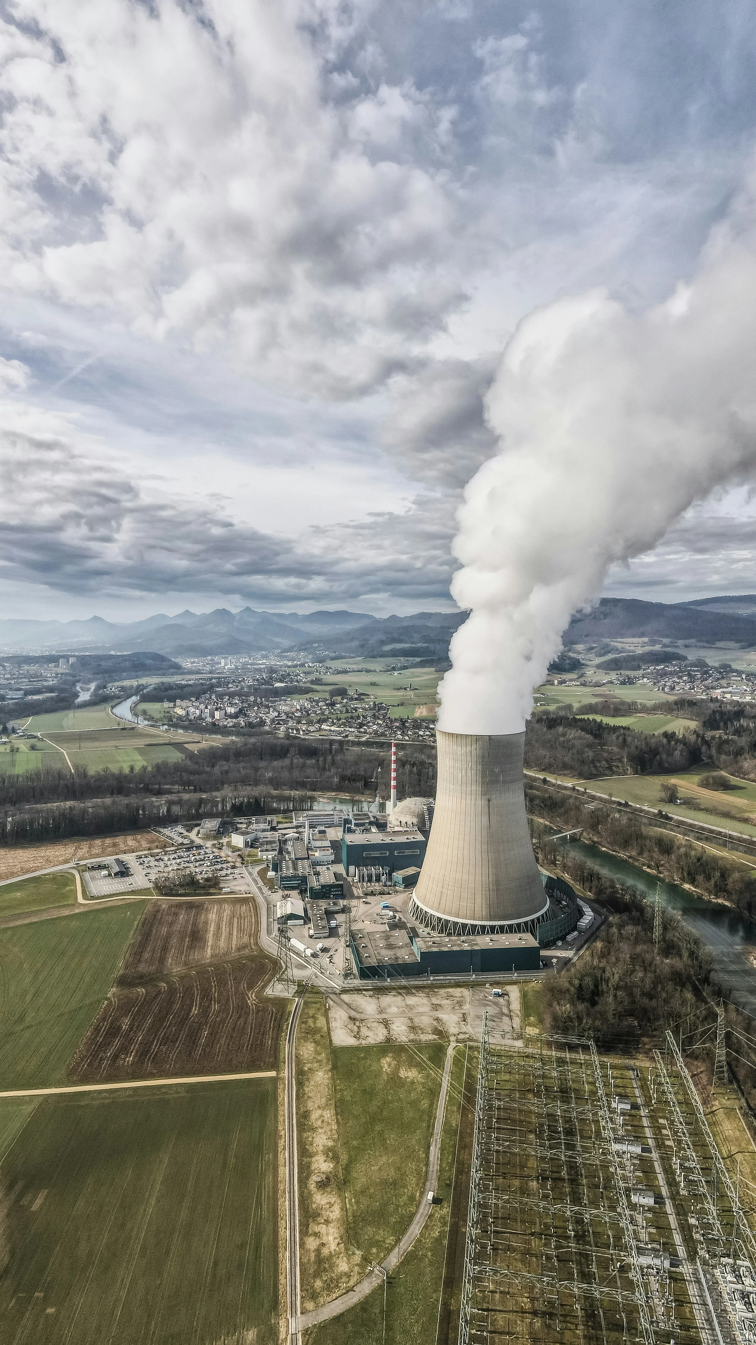
Industrial
Industrial project support and inspection services for manufacturing facilities, energy operations, processing plants, and industrial infrastructure. Our capabilities include drone-assisted inspections, project tracking, and non-destructive examination (NDE). We help clients evaluate equipment, structures, and assets safely and efficiently while coordinating specialized technical services to support maintenance, reliability, and capital improvement projects.
-
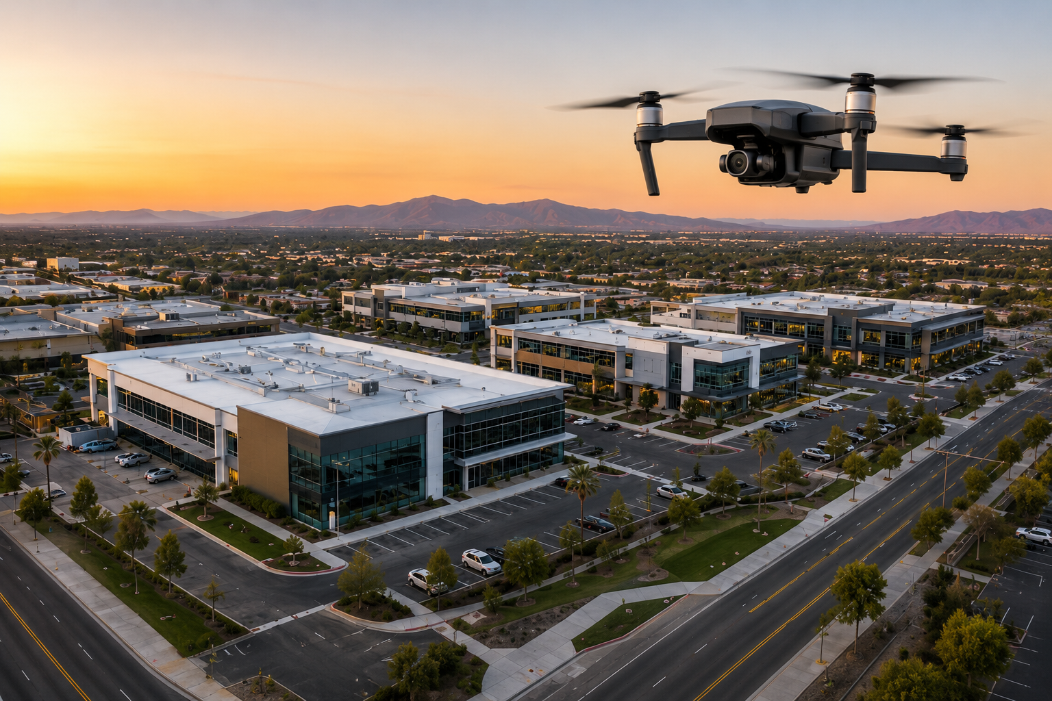
Commercial
Commercial development support including real estate photography, aerial property imaging, drone inspections, site documentation, and progress monitoring for office buildings, retail centers, healthcare facilities, educational campuses, warehouses, and mixed-use developments.
-
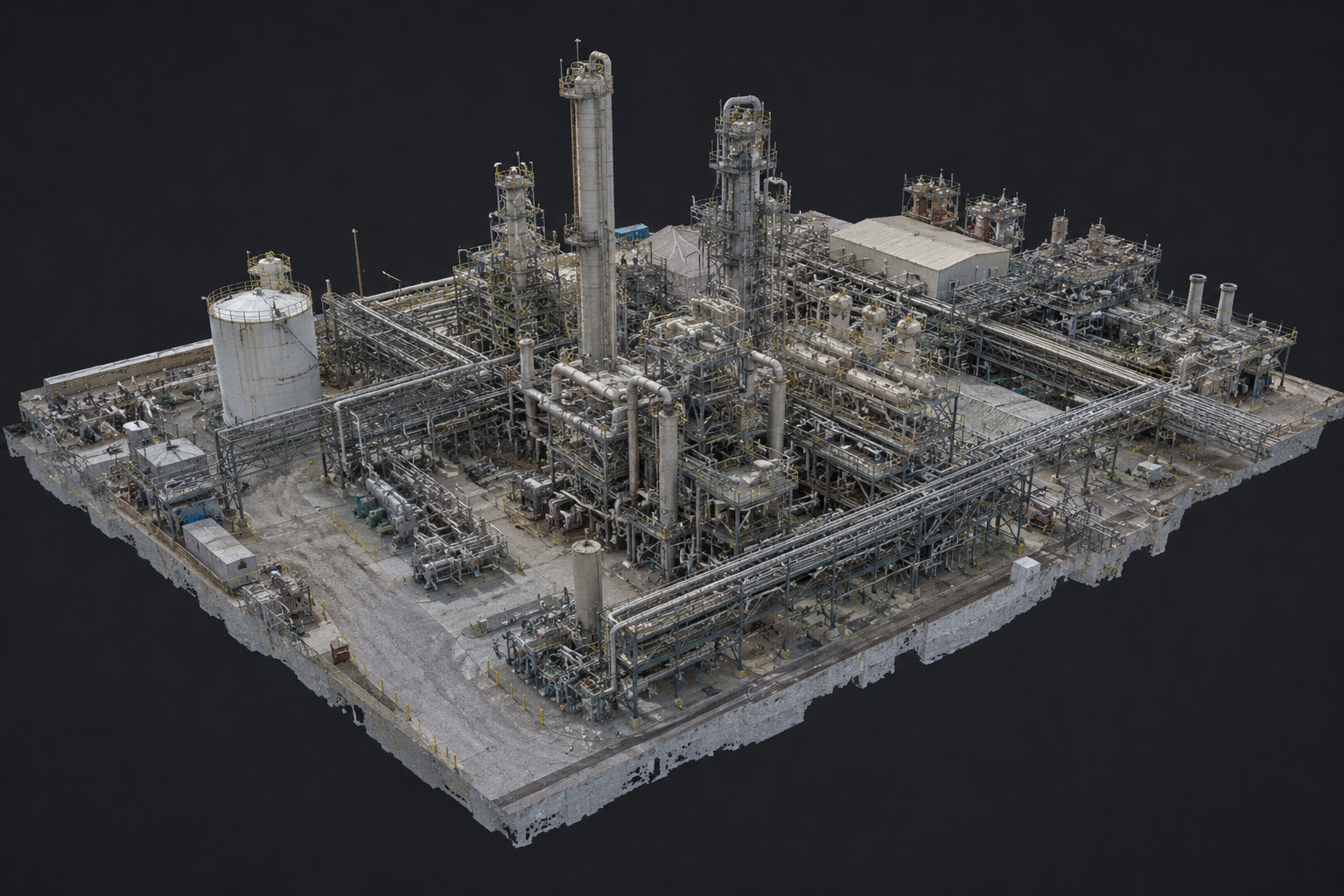
3D Modeling
Advanced drone mapping and 3D modeling services that transform aerial imagery into highly detailed digital models of sites, facilities, and infrastructure. Using photogrammetry and aerial data collection, we create accurate 3D representations for project planning, progress tracking, site analysis, volume calculations, asset management, and documentation.